The A428: The Return of the Dig
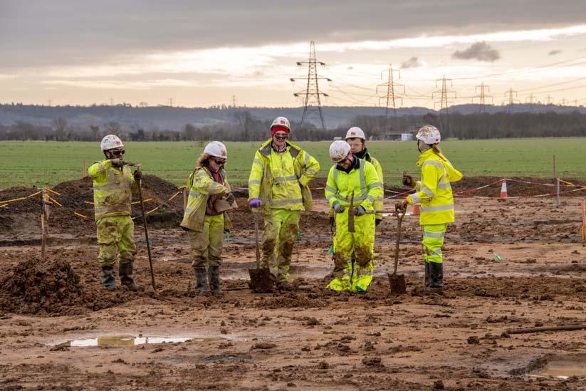
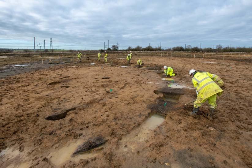
We’ve been breaking new ground! Our work continues on the proposed National Highways A428 Black Cat to Caxton Gibbet improvements. Over the next few months our archaeologists will be digging into the past of Bedfordshire and Cambridgeshire - join us on this incredible journey of discovery!
Flashback to the Trading Centre
We began our excavations on the A428 Black Cat scheme last year, working with archaeologists from Cambridge Archaeological Unit. What we unearthed was pretty spectacular!

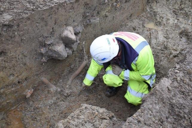
We found some of the largest roundhouses ever excavated in England. They were part of a settlement established in the middle Iron Age (c.300-100 BC) and measured a huge 15 and 20 metres in diameter. That’s more than twice the size of an average Iron Age roundhouse! Even more exciting was uncovering a small piece of roundhouse wall, preserved in the waterlogged conditions. This was an incredibly rare find, but the discoveries didn’t stop there!
People lived at the site from the Iron Age through the entire Roman period (43-c.410 AD). During this time the community grew in wealth. It appears they made their money through farming, cereal processing, and pottery production. The settlement was also an important local trading centre. We even found evidence they were producing malt, an important ingredient in beer!
With all this from just one area, imagine what incredible things we might find as we continue our investigations!
Why are we doing more archaeological work?
Our excavations at The Trading Centre were just the beginning - we still have a lot to uncover! The initial dig has helped us build our understanding of the archaeological landscape, but it has also raised some interesting questions which we are hoping to answer. We are now excavating a much larger area, and this will allow us to see how different places in the landscape related to each other and changed over time. We’d like to find out more about the communities who lived here in the past, especially their industries and wider trade links.
As we explore the archaeology along the length of the proposed scheme, we hope to be able to begin answering some of these questions. Along the way, there’ll be plenty of opportunities for you to join the journey and discover more about the region’s past – whether you live locally or further afield.
What's next?
We have some ideas about what we might find next, from the archaeological evaluation we carried out in 2020. This was a really important part of the project as it helped us understand how much archaeology had survived after being buried for hundreds or even thousands of years.
We used a number of survey techniques including geophysics, which helped us identify archaeology under the ground without digging. We also did some trial trenching – these trenches covered a small area of the area we will eventually. Our surveying allowed us to better plan the excavation by estimating the extent of archaeological remains across the scheme.
The evaluation gives us a good idea about the archaeology we are going to find, but there are definitely going to be surprises along the way! We have many new areas of interest, which we’re really excited to get our trowels into… Here’s two of them!

The Iron Age Farmstead
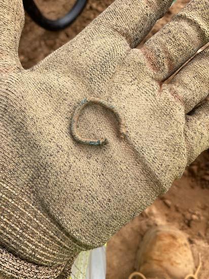
The Iron Age Farmstead was established over 2000 years ago in the mid to late Iron Age (c. 300 BC- 43 AD). We’re already finding evidence of the people who lived here, including their jewellery…
This twisted copper alloy wire ring was last worn by someone over 1600 years ago.

People continued to live and work at the Iron Age Farmstead for centuries. In fact, it was inhabited throughout the Roman period (43 AD-410 AD) as well. We think that people lived here until at least the 4th century.
This is an amazing opportunity for us to find out how the settlement changed and developed over time. We’re also really looking forward to telling the stories of the people who lived there. Who might have owned the ring, and how did they come to lose it? How did the farmstead’s inhabitants interact with other nearby settlements? Did they trade goods across the Roman empire as we found at The Trading Centre?
The Square Ditch Village
The Square Ditch Village was also founded in the mid-late Iron Age (c.300-100 BC). Its current defining feature from our geophysical survey is (you’ve guessed it) a boundary ditch which surrounded the settlement. So far we’ve found some pieces of Roman pottery right at the top of the ditch and a full set of red deer antlers!

What do you think the people who lived here were planning to do with the deer antlers? Perhaps they were going to make them into bone tools, or do you think they had another purpose?
As our excavations continue, we look forward to revealing even more about the archaeology across the National Highways A428 Black Cat to Caxton Gibbet improvements and the stories of the people who lived there, from prehistory to the present day. There is so much more to discover!
JOIN US ON OUR JOURNEY!
#A428BlackCat
Find out more about the A428 National Highways scheme
Excavations are being undertaken by archaeologists from MOLA, as part of the proposed National Highways A428 Black Cat to Caxton Gibbet Improvement Scheme.